.avif)
Published August 22, 2025
Better Together: EO & GIS
At the 2025 Space Capital Summit, leaders from Esri, Maxar, and SkyWatch explored how seamless access to Earth data is transforming decision-making across the global economy.

At the 2025 Space Capital Summit, leaders from Esri, Maxar, and SkyWatch explored how seamless access to Earth data is transforming decision-making across the global economy.
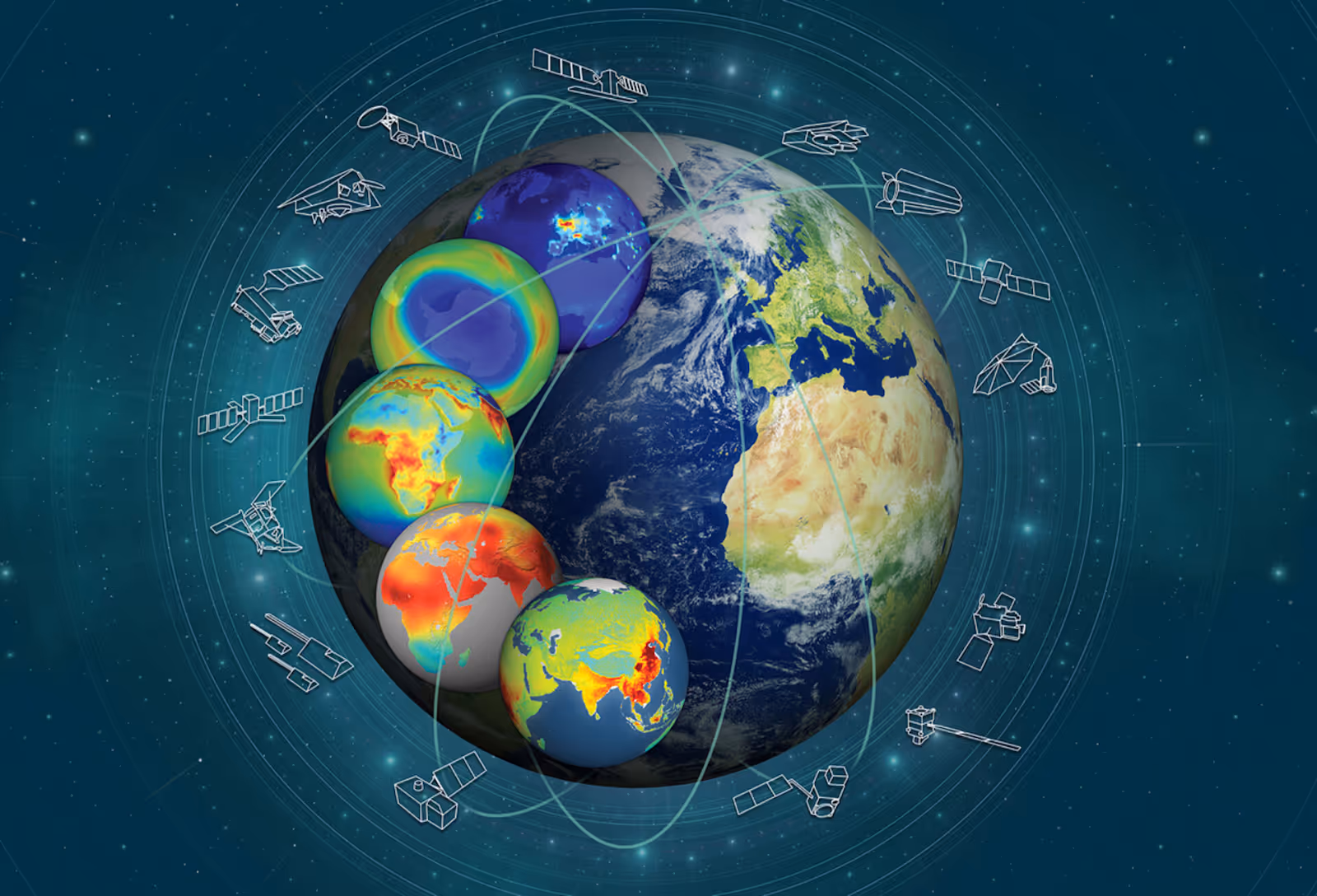
If you want to understand what’s happening on Earth—whether it’s the movement of goods, the spread of wildfires, or the performance of infrastructure—there’s no better vantage point than orbit. At the 2025 Space Capital Summit, our panel Better Together: EO & GIS explored how Earth Observation (EO) and Geographic Information Systems (GIS) are converging to power smarter decisions across industries using geospatial intelligence.
To unpack this evolution were three leaders at the intersection of geospatial infrastructure and applications:
Their companies sit at three different layers of the EO-GEOINT value chain—infrastructure (data collection), distribution (data accessibility), and applications (data use)—and together, they’re reshaping how geospatial intelligence is delivered, accessed, and applied.
Let’s clarify a few key definitions:
In other words, EO is the data source, GIS is the analytical framework, and GEOINT is the actionable outcome. And now, thanks to dramatic improvements in sensors, platforms, and automation, these components are converging faster than ever.
Esri has long been the backbone of the global GIS market, serving over 680,000 customer organizations. But as Beau Legeer explained, the role of GIS has evolved from static mapping to real-time intelligence.
“Five to ten years ago, GIS was mostly about layering data onto maps,” he said. “Today, customers want fresh, real-time data that’s tightly integrated into their ERP systems and decision-making workflows.”
Whether it's an oil company monitoring emissions, a utility assessing fire risk, or a local government planning transit, up-to-date EO data is now seen as a competitive advantage.
“Almost 100% of our users use satellite-based maps,” Beau noted. “But the opportunity is in shifting from static maps to dynamic, task-specific EO insights—and that’s where Earth observation comes in.”
That opportunity is precisely what SkyWatch was created to unlock. As CEO James Slifierz explained, EO historically suffered from the opposite traits of GPS: it was fragmented, inaccessible, and expensive.
“GPS succeeded because it was standardized, affordable, and embedded into everyday tools,” James said. “We asked ourselves—what if EO could be that simple?”
To make that vision real, SkyWatch built the first EO API in 2016. Today, they connect users to hundreds of sensors from over 30 satellite operators through a single interface. They’ve also partnered with Esri to launch the SkyWatch Content Store inside ArcGIS, allowing users to order fresh satellite imagery from within the platform they already use.
“Imagine a city planner looking at a satellite base map and realizing it’s outdated due to construction,” James said. “Now, right from their GIS workflow, they can order fresh imagery and have it auto-updated—without ever leaving the app.”
This shift—embedding EO access directly into customer workflows—is quietly revolutionizing how Earth data is consumed. It’s the “iPhone 3G moment” for Earth observation: a powerful capability, suddenly made ubiquitous.
Of course, all of this only works if the data itself is reliable. That’s where Maxar comes in.
As Will Cocos explained, Maxar has long been the primary EO provider to the U.S. government, with satellites delivering sub-30cm resolution and unmatched geolocation accuracy. But as EO becomes more mainstream, customer needs are shifting from raw data to answers.
“Not every customer wants to analyze pixels,” Will said. “They want to know what changed, where, and why—and they want that across a wide range of sensors.”
To meet that demand, Maxar is moving beyond its proprietary data to integrate with partners like Umbra (for SAR) and support hybrid constellations. They’re also investing in AI-powered value-added products like:
By combining high-resolution electro-optical imagery with radar, infrared, and temporal monitoring data, Maxar is helping create “virtual constellations” that answer questions—not just collect pixels.
One of the most important (and underappreciated) components of scalable EO-GIS integration is accuracy. As James explained, even slight misalignments in satellite imagery can cause cascading errors—especially in autonomous systems.
“If you're feeding spatially inaccurate data into a self-driving combine or drone, you're not just making bad decisions—you’re taking bad actions,” he said. “Accuracy isn’t a nice-to-have. It’s table stakes.”
That’s why companies like SkyWatch and Maxar invest so heavily in automated spatial correction, quality scoring, and ground control alignment—all of which are necessary to scale EO use cases across agriculture, mining, logistics, and beyond.
As with many fields today, AI is proving to be a force multiplier. All three panelists emphasized that AI is the only way to extract timely, relevant insight from the overwhelming volume of EO data now available.
Maxar, for example, uses AI to:
SkyWatch has deployed machine learning to automate image quality scoring, spatial realignment, and tasking optimization—deciding which satellite, at which time, under what weather conditions, should be tasked with a customer request.
Esri is integrating AI-powered geospatial analytics directly into ArcGIS, democratizing insights across organizations and enabling non-technical users to access powerful geospatial intelligence. As Beau noted, AI also unlocks the potential of “invisible” modalities like SAR and hyperspectral imaging. These historically required specialized analysts—but now, models can extract insights in milliseconds.
In all cases, the direction is clear: higher frequency, greater precision, simpler access, and smarter outcomes.
Just like GPS started as a military system and became a daily utility, EO is crossing the chasm. What was once the domain of national security analysts is now being embedded in apps, maps, and machines that touch every part of our economy.
And just like with GPS, the companies that abstract complexity—while maximizing reliability, accessibility, and automation—will define the next wave of space-powered innovation.